Wilmington Comp and Parks Plans Almost Complete

By Stephanie Irvine
Wilmington’s plans for future development are wide-ranging, but the planner helping the city with the project said one area could develop first.
The Arsenal Road corridor could develop more quickly, due to the outgrowth of the Loves Truck Stop proposed for that area, said Todd Vanadilok of Egret and Ox, the planning firm contracted to lead the project, at the final open house held on the project October 22 at City Hall.
“It could take time, and it may stay agricultural for a while, too. It depends on what happens,” Vanadilok said.
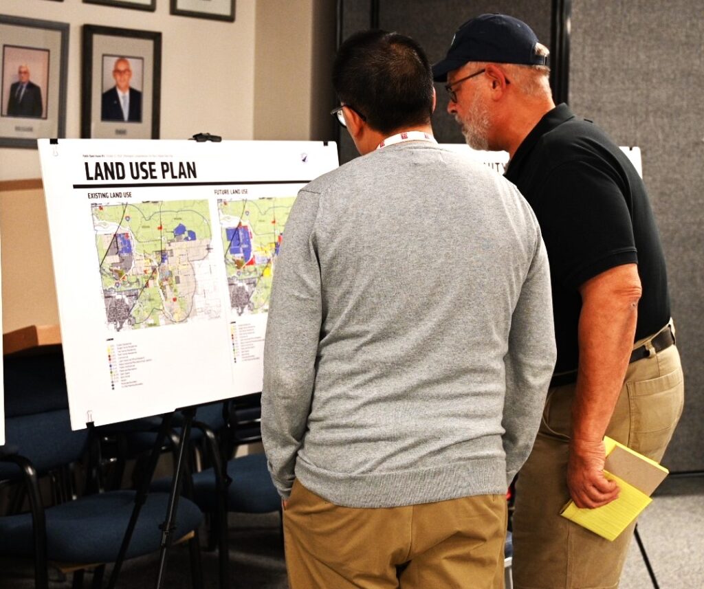
The open house, which was available to the public from 4 to 7 p.m., featured poster boards with key components of the proposed plan, including maps of potential locations of new parks, charts showing types of new developments and land use types, along with where they would be most appropriate within the town, and information about the project framework.
Corridor subareas — including IL-53, Strip Mine Road, Arsenal Road, Lorenzo Road and Water Street — were identified and examined independently within the comprehensive plan project.
The goal of the final open house was to elicit community feedback on the draft plans and present potential options.
A few people trickled in during the first hour of the open house. Wilmington City officials, including Mayor Ben Dietz and Administrator Jeannine Smith, were seated at a table and talked among themselves.
Dietz and Smith declined to provide any comment regarding the plan, community participation, or progress before Smith briefly added that they were “gathering information.”
Identified in the plan were eight goals and objectives: to manage and control community growth and preservation, provide diverse housing options, advance economic development and growth, improve transportation within the city, ensure utilities and infrastructure meet the needs of residents and businesses with the potential for expansion, provide equitable access to community facilities and assets like parks, protect the Kankakee River and other work on other sustainability efforts, and elevate community spirit.
“We can identify where and what’s most appropriate for certain areas. It helps city staff understand what to approve or deny when applications come through,” Vanadilok explained of the comprehensive plan.
He added that the next step that usually follows the adoption of a comprehensive plan would be updates to the zoning code.
The Parks Plan seeks to provide guidance for future parks, evaluating current and future park and open space needs. Currently, six parks serve the City of Wilmington, including the two Island Parks, but none are on the City’s west side.
“Right now, there are no parks to the west, so as more residential grows, we want to see more parks there. A goal is to distribute the parks more equitably as the City changes,” Vanadilok said.
A new comment on the comment map from October 19 from an individual identified as John added, “Park district [should] run the interior parks and city run the Island Parks to make for a better understanding of park district vs city parks.”
The comment is pertinent as the City owns all of the park district property; however, until a 2015 intergovernmental agreement, the park district maintained the parks and managed programming.
According to the draft plan, the park district would spend $131,000 on maintenance and programming and receive a $35,000 City reimbursement annually.
Ideally, the City’s 2024 plan will incorporate the Park District’s 2020 plan “to reach a renewed and equitable partnership for park maintenance, park land ownership, and future parks planning.”
The 2024 Master Parks Plan identifies 12 goals for the city, including the goal of working with the Park District.
Additionally, the Plan seeks to connect park spaces and facilities to a well-connected trail system and provide all ages, abilities, and financial means with park access to ensure equitable distribution of parks and meet national park standards.
The City also would like to offer year-round activities in park spaces and facilities; engage the community through events, social media, outreach, and public education; center environmental stewardship in park planning; take a proactive approach to acquiring land and coordinating with developers to build new parks.
Ultimately, they want to maintain a flexible park planning process that can adapt to future trends and changing needs.
Another new comment also pertained to parks, identifying an area south of the Dollar General that the commenter felt would be ideal for a park or public entity complex.
On the comment map, commenter Eric G. stated “I played a pop-up disc golf course on the South Island a few times now. This would be a great location for a permanent disc golf course. Plenty of room and it’s a fun activity for families to take advantage of. It would also incorporate a lot of areas of the park that don’t get utilized.”
The city does have a brownfield area, which is a term commonly used to describe an abandoned, contaminated or polluted, or area of past industrial development. Vanadilok noted that the City is pursuing grants to remediate them, which would open up a lot of possibilities for new use.
On October 17, a comment from an individual identified as John was added to the comment map where the City has a brownfield site, noting that the “City should clean up the site and be public access to Forked Creek and Kankakee River.”
Vanadilok acknowledged that Wilmington has a unique location where open space is plentiful for the community, with Midewin and other nature preserves acting as a green buffer to prevent the sprawl of other communities.
It is anticipated that the plans will be completed and ready for city review and adoption in November or December 2024. The last comprehensive plan was adopted in 2008.
Stephanie Irvine is a freelance reporter.
